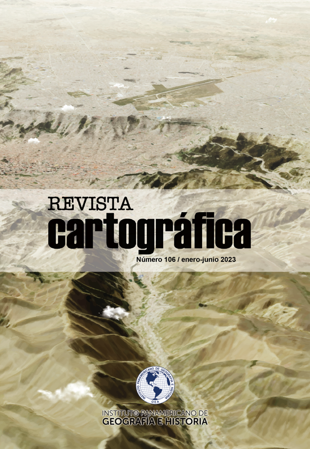
Relations between urban structure and daily mobility in Ciudad Juarez, Chihuahua, Mexico
Main Article Content
Abstract
The research describes and explains the patterns, costs and limits of daily mobility caused by the urban structure of Ciudad Juarez. The concatenation of classical and contemporary theories of location, urban structure and mobility underpinned the analysis processes and results of this study. Methodologically, Moran's I and Getis-Ord's G spatial autocorrelation techniques were implemented for the analysis of INEGI's economic censuses, which spatially identified the sub-centers of total, manufacturing and tertiary employment in the periods 1993, 2004, 2009 and 2014. On the other hand, a two-stage data survey was conducted throughout the city by means of origin-destination surveys, which showed, from a macro scale, mobility patterns in terms of time, distance, origins, destinations, number of trips, transportation preferences, motives, ages and economic costs. At a micro scale, graph theory and network analysis allowed spatial modeling of each intra-urban trip, the results of which are detailed in a Mobility Atlas that includes each of the 64 territorial units into which the city was divided. The research proposes a replicable methodology and provides relevant and current information about the city, useful for other studies, decision making and public policies on urban structuring and mobility.
Downloads
Article Details

This work is licensed under a Creative Commons Attribution-NonCommercial-ShareAlike 4.0 International License.
By submitting the originals, the author accepts the rules of distribution, reproduction and copyright established by the journal.
The author who publishes in Revista Cartográfica agrees with the following terms:
- It preserves the copyright, and grants the journal the right of publication (reproduction, edition, distribution, public communication and exhibition).
- Revista Cartográfica is licensed under the terms of Creative Commons Reconocimiento-NoComercial-SinObraDerivada 4.0 Internacional.
- The author is encouraged to reproduce and host their works published in the Revista Cartográfica in institutional repositories, web pages, etc. in order to contribute to the dissemination and transfer of knowledge.
- The journal adheres to the international standards and codes of the Committee on Publication Ethics (Code of Conduct and Best Practices Guidelines for Journals Editors, COPE).

